Funciones clave
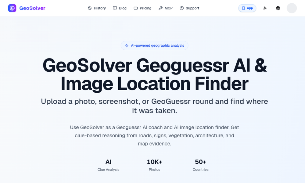
- Explains scene clues like signs, road lines, vegetation, and architecture
- Estimates likely region from a single uploaded photo
- Useful for OSINT verification and GeoGuessr practice
Casos de uso
- Analyze social media screenshots with missing metadata
- Practice evidence-based geolocation for geography learning
- Cross-check possible locations before map verification
Reverse Image Location
Plan gratuito
AI photo geolocation tool for OSINT investigators and GeoGuessr players that explains visual clues, likely region, and reasoning from a single image.